 GeoZine
GeoZine Travel photos × real maps
Put the real map
behind your travel photos
Pick a travel photo with a location. GeoZine reads where it was taken and draws the real contours, rivers and place names there, laid into one image you can post as is.
Your photos stay on your phone. Nothing is uploaded.
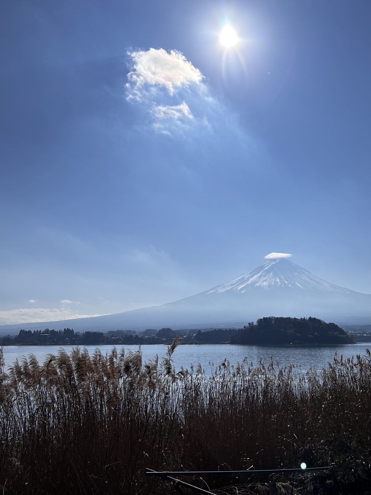
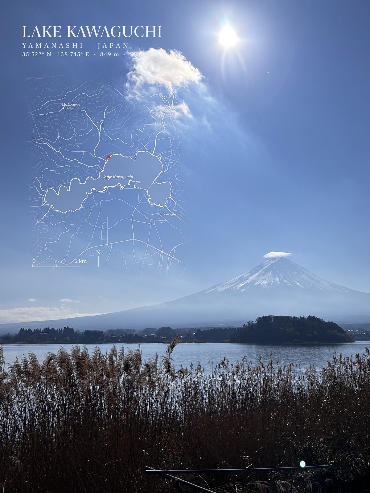 ResultOriginal
Drag left and right to compare the original and the result
Pick, render, save
Pick a travel photo
Choose a photo that has a location. No location? Search for a place name instead.
Draw the place automatically
GeoZine reads the capture point and draws the real contours, rivers and place names there, with a red dot where you stood.
Pick a ratio, save or share
Original, 3:4, 4:5, 9:16 and 1:1, three templates, and the title and map block can be dragged wherever you like.
One method, many pictures
Three templates, Classic, Ink and Minimal, in every ratio.
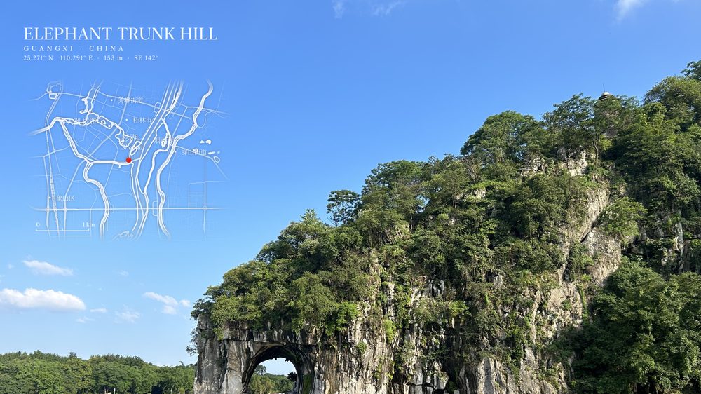
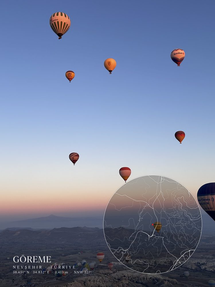
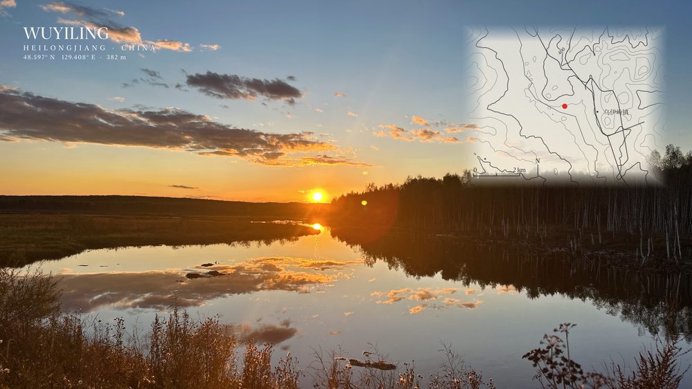
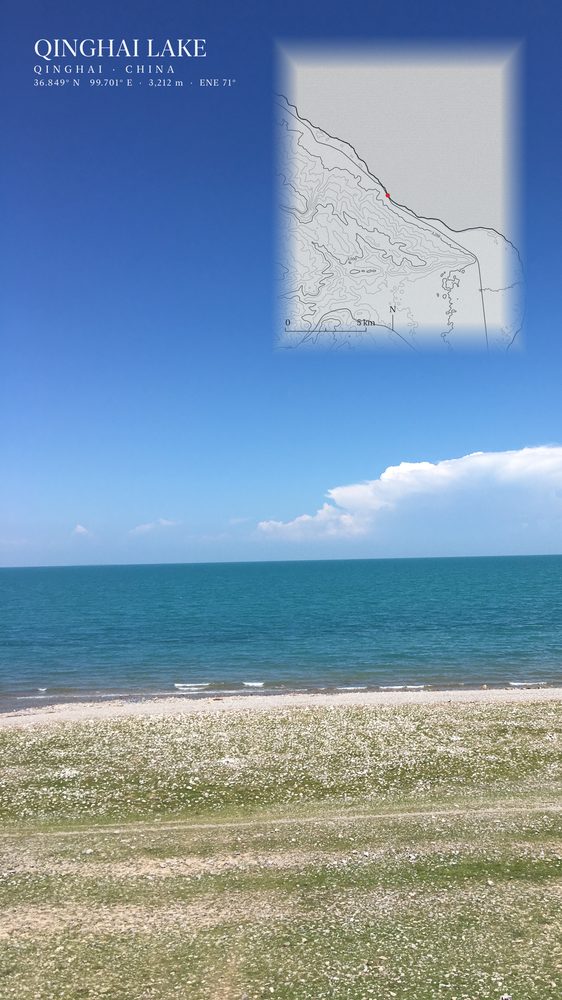
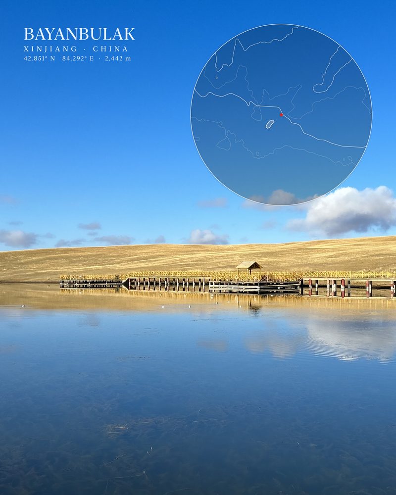
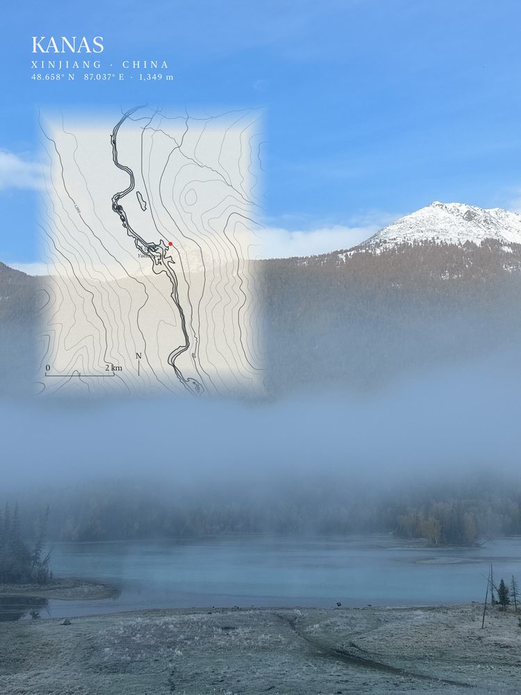
Every example is a real travel photo. The map in each is actually generated by the app from real data.
Every example is a real travel photo. The map in each is actually generated by the app from real data.
Why you can trust this image
Every detail traces back to real data.
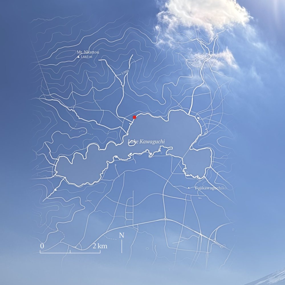
Contours drawn from real elevation
Contour lines come from public elevation data, peaks carry their elevation, and lakes follow their real shorelines. This is not an illustration.
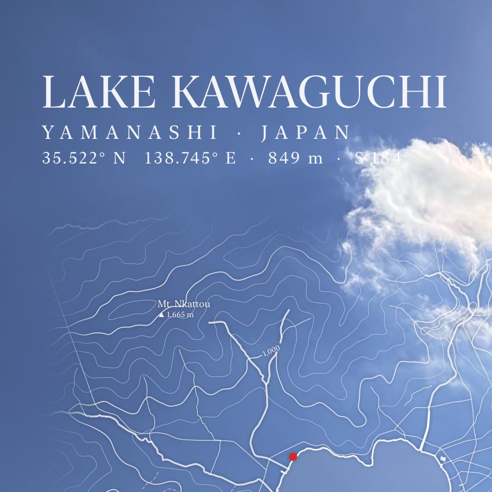
A red dot and a line you can verify
The red dot is where the photo was taken, and the line under the title gives the coordinates, elevation and heading so anyone can check.
Your original pixels stay untouched
GeoZine only draws a layer over the photo. Every pixel the map does not cover matches the original exactly.
Processed on your phone, never uploaded
No account and no ad tracking. To get the map, GeoZine only asks public map and elevation services for the tiles near the capture point. See the Privacy Policy.
Coming soon to the App Store
Want early access, or have feedback? geozine@gatheon.com